


How To: Step 4 - Return and Regroup
SURVEY HOME | PREV | NEXT
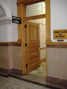
Visit the County Clerk and Recorder's Office in the Courthouse for Plat maps.
Plat maps show how the streets were originally surveyed and added to Charleston, Illinois. They also give you an idea of how old a neighborhood is and also allow you to look up correlating granter/grantee records to find out who first owned the lot, etc., for your individual house research.
First, though, you'll probably need the subdivision name. Go to Tax Assessor's Office to request property cards for your houses, (across the hall from Clerk and Recorder Office).
Go early with your list of addresses, and don't expect them to be compiled on the same day. It is $1 per card if you want to keep it, or you can look at them and write down information free of charge.
Property Card Information:
- Approximate date built (City records are not always accurate, so use your best judgement)
- Sometimes, additions/remodeling and dates
- A very basic, usually incomplete interior floor plan (helps determine style)
- Section/Block/Subdivision/Addition and Lot Numbers (needed for Plat maps).
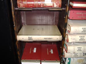
First, you will need the name of your Section (or subdivision/block name) and Lot Number. Then, look it up in the Plat Index.
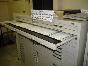
The actual Plat Maps are stored in the cabinet next to the index.
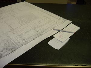
A sample Plat map of a portion of Tenth Street
![]() .....
.....![]()


