GEODATABASES
QGIS has only limited capability to read ESRI geodatabases because they are a proprietary format. However, QGIS can read basic feature classes from a file geodatabase. Let's add a street layer to our map:
1. Click the Add Vector Layer button ![]()
2. Select Directory
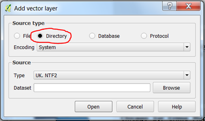
3. Click Browse
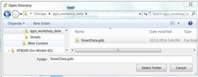
4. Navigate to the StreetData.gdb folder and select it
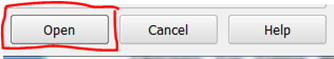
5. Click Open
6. The street data will be added to your map
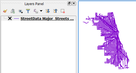
In the next section, we'll access web map service layers to add a base map to our project.