Thut Presentation Page 4
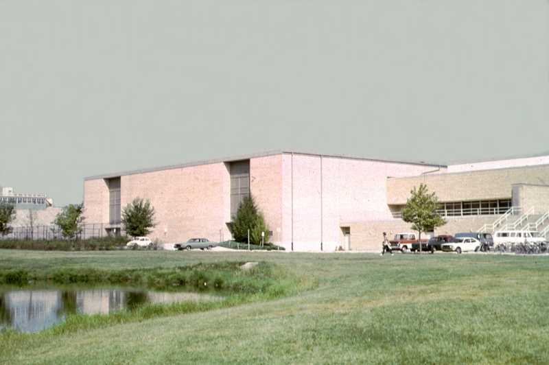 Lantz Gym south side in September, 1973. Over here is the – the - what do you call it? Ah, the Field House. This is the Field House.
  O'Brien Field bleachers. Of course, you all know about this thing - this is relatively new and it certainly is different from the little stadium I showed you on Schahrer Field. Schahrer was a soldier and he was killed in the war. He was quite an outstanding student so they named that field on the original 40 acres Schahrer Field.
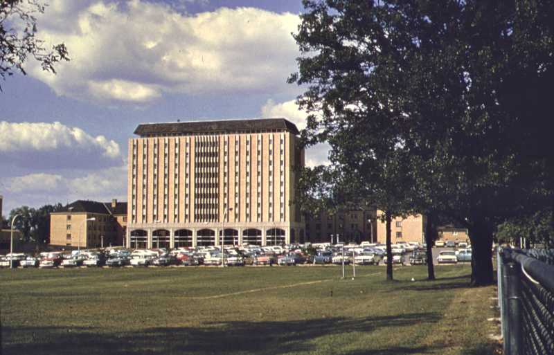 Stevenson Hall on September 1, 1968. And here is Stevenson Towers, Lincoln and Douglas and the parking lot and if you turn around you'll all know what it looks like.
 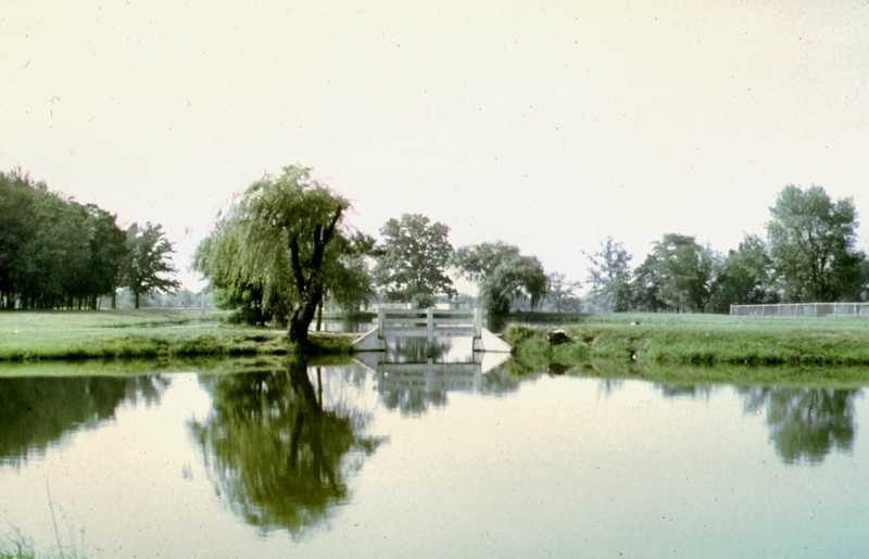 University lakes looking south in September, 1973. So this is the dirt that was removed to fill up Lake Ahmoweenah.
 ![]() Buzzard Lab School, September, 1973. This is on Ninth Street and we're looking at children playing at the Buzzard Laboratory School.
Buzzard Lab School, September, 1973. This is on Ninth Street and we're looking at children playing at the Buzzard Laboratory School. 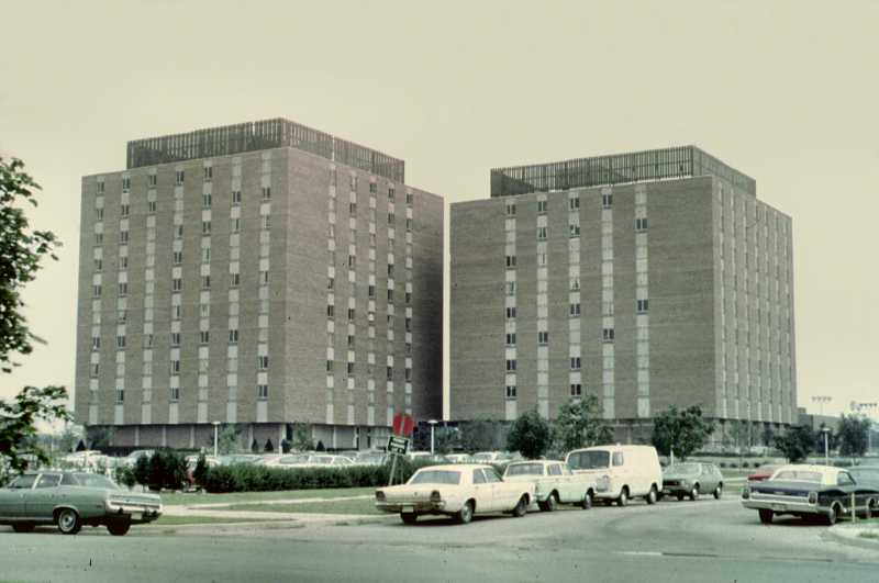 Carman Hall. And this is Coleman Hall, I mean Carman Hall, I'm sorry, Carman Hall.
 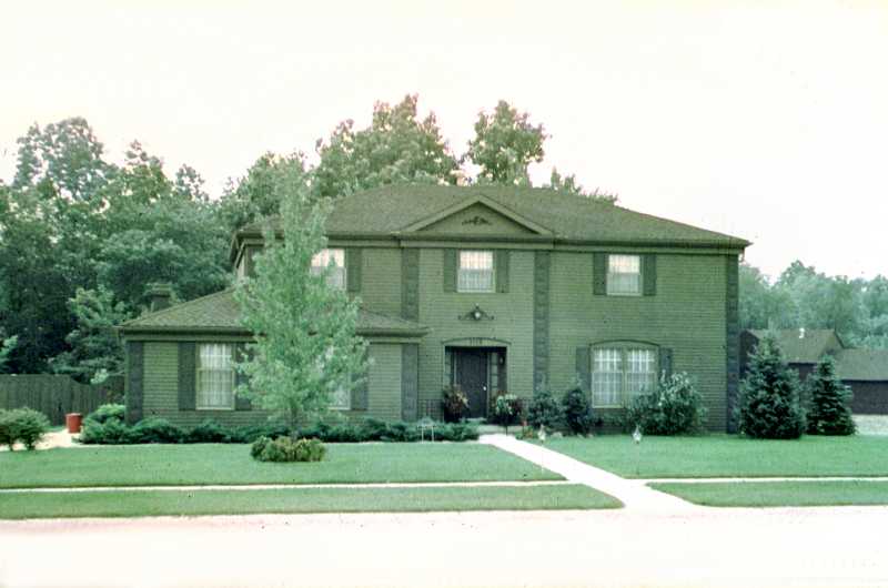 President's house. (Ed. This house was sold by Eastern in the early 1990s and is now a private residence.) This is Pretsy's house, I hope you found it, nice green building, down on - what's the street it's on? Coolidge? Coolidge. It's down on Coolidge. It's the President's house.
 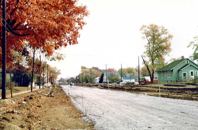 Corner of Seventh Street looking east along Lincoln Avenue in October, 1959. When Lincoln Street was widened they took one whole row of houses off on the south side of the street so that they could make it a four-lane highway and that's what happened, you see.
 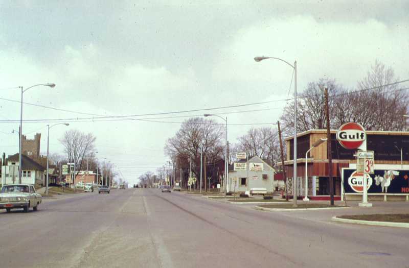 Lincoln looking west from Eleventh Street in April, 1969. Here we are looking west from Eleventh Street, toward Old Main and four lanes. It was just a nice little country lane before it became a "Hamburger Alley."
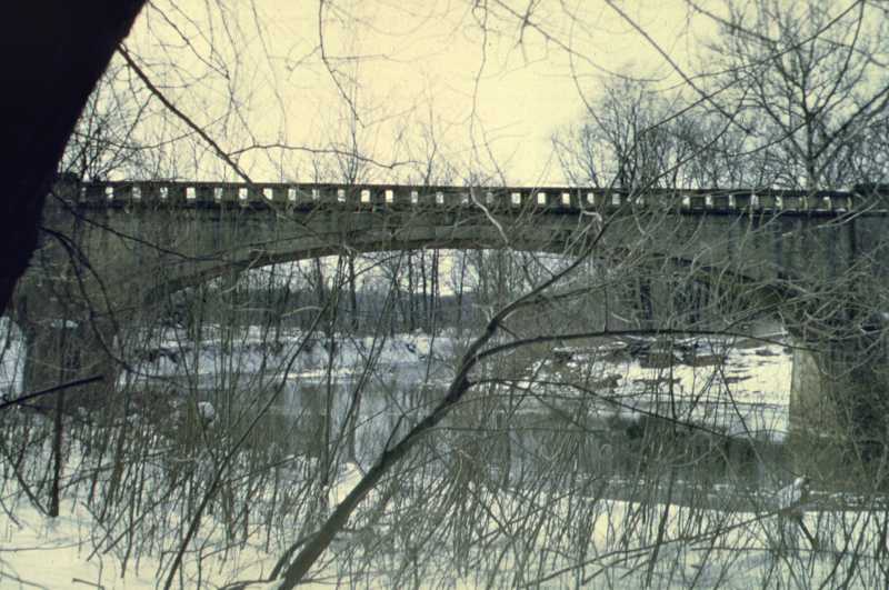 Old bridge near dam at Lake Charleston on March 12, 1960. If you went to Greenup you went south on 130 and you crossed the river on this bridge. But they thought we ought to have a little better bridge.
 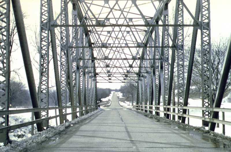 New bridge near dam at Lake Charleston on March 12, 1960. And so this bridge is standing only a couple hundred feet from the old bridge.
 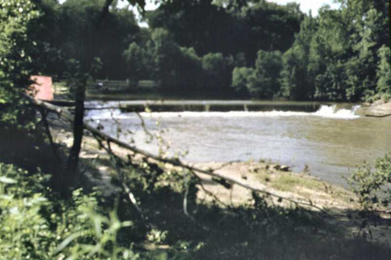 Spillway of Lake Charleston in riverbed in 1940. In the riverbed there was a dam. This dam backed up the water in the riverbed.
  Just south of the water works before the new dam. So here is the water supply of Charleston in the riverbed. Before the new lake, we had to cut down on our water use on several occasions ‘cause this thing pretty well dried up.
 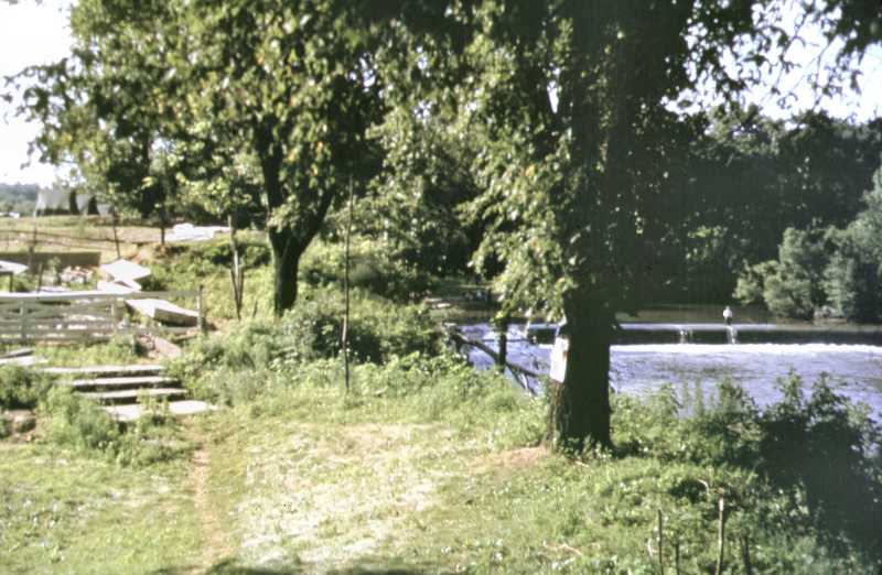 Charleston dam in 1940. Here again is the dam, and you can see it was just about tall enough to fill up the riverbed with water. Now, I want you to see this going up here on the left, because there is a road there now.
 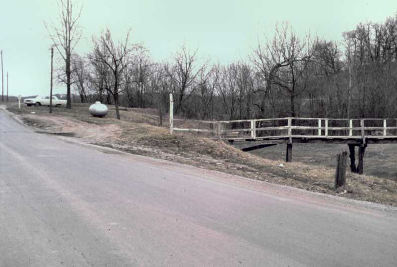 Same view as previous image, in April, 1969. And here is the road. Over there is the causeway and this is the Embarras River bed on the right.
 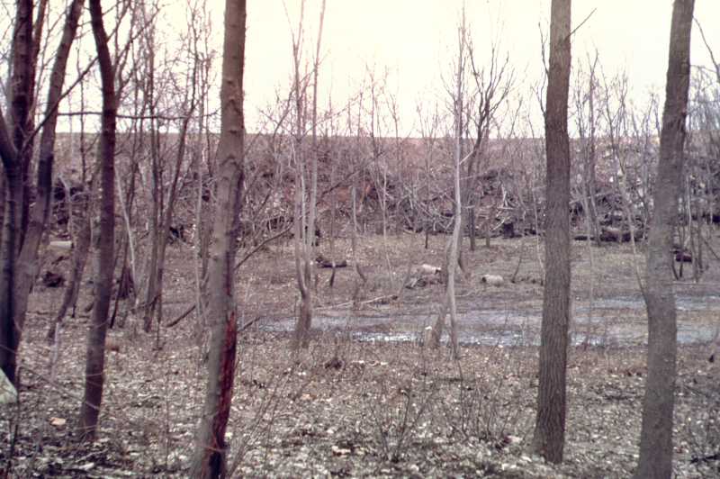 To the right of the location in the above image in the bottom of the old river bed in April, 1969. I took this - it is a winter picture - this is the bottom of the Embarras River and the old dam was right in there.
  From the top of the causeway looking north in October, 1959. This causeway raised the water 13 feet. And there it is. So, we had more water supply. But now they're talking about silting and we don't have much water supply. Well... so it goes.
  Road to the rock quarry on the east side of the present location of' the lake in about 1942 above the location of the dam. The field is now covered with water. East of the causeway damming the Embarras River is a road right along there. This used to be a beautiful spot and they called it "The Island". It's still The Island, 'cause right in here is the outlet to Lake Charleston.
  View north across the river channel below the dam before the park was constructed. The picture was taken in January,1967. Here we have the buildings that are on this area up there. You can all see this if you go down to the dam.
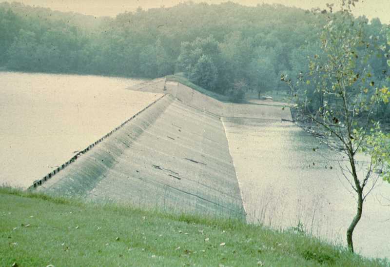 The dam in September, 1973. This is the spillway, as I said before, it raised the water of Lake Charleston 13 feet. Now, if they put in a new lake, they want to raise the water 20 feet as maximum, 4 feet as minimum above this lake. Whether we'll ever get it or not, I don't know. But, enough water has spilled over the dam and I've shown you the 80th slide, so we are through.
Thut Presentation Page 1 Thut Presentation Page 2 Thut Presentation Page 3 Thut Presentation Page 4